
Working extensively in the small details, remote sensing researcher does so with bigger philosophies in mind.
Photograph by Jean Dixon
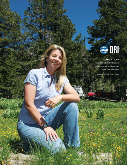
Mary Cablk, associate research professor at DRI, works extensively in the small details, but she does so with bigger philosophies in mind.
“When it comes to landscapes, I think that there has to be a balance,” Cablk said of Lake Tahoe. “There are places that have to be allowed to remain difficult to get to. There are many examples around the world of what happens when people aren’t conscious of human impact.
This train of thought is present through all of Cablk’s work in Lake Tahoe. Though her research background is in the fields of ecology and remote sensing, her primary focus at Lake Tahoe can be summarized as studying the effects of interactions between people and landscapes.
Cablk has studied the effects of skiers and human recreation on behavior patterns of the American martens in Heavenly Ski Resort’s leased land. The project was led by Cablk but was also a collaborative effort among DRI, the ski resort, and the U.S. Forest Service (USFS) Lake Tahoe Basin Management Unit.
“The ski areas … are required to comply with a variety of environmental regulations in the Lake Tahoe Basin,” Cablk said. “The American marten is one USFS species of concern within the Tahoe Basin. The project addressed basic questions about how the marten at Heavenly react to the presence of skiers in terms of their use of the landscape throughout the year relative to how marten elsewhere use non-ski area landscapes. One of the questions asked was ‘Did the marten change their activity patterns relative to ski area activity patterns?’ That is very much about people in the landscape.”
And though many scientists focus on studying the lake itself, Cablk emphasizes the importance of studying the terrestrial area surrounding the lake.
“The majority of research to date has focused on the lake itself,” she said. “But you cannot decouple the lake from the surrounding terrestrial environment. They are connected.”
Another recent project was a historical change-detection study of the patterns of development in the South Lake Tahoe area. Through the use of aerial photographs and satellite imagery, Cablk and her colleagues at the U.S. Geological Survey studied changes in urban development, vegetation and land management policy for a 62-year time period between 1940 and 2002.
“Although we mapped changes in development, the project’s focus was less on the urbanization itself than on changes on the surrounding forest,” Cablk said. “One thing we were able to show is that the effects of management practices, such as fire suppression, appear over time in the landscape’s patterns. We documented that as the number of people, more specifically development, increased over time from 1940 in South Lake Tahoe, there was a significant increase in tree canopy. Forest stands became dense. We realized that a catastrophic fire was highly likely in the area we examined–and shortly after we completed our study the Angora Fire occurred. The story of the Lake Tahoe Basin is complex but history provides insight about how things came to be.”
Cablk also collaborated with fellow DRI scientist Tim Minor on mapping the entire Tahoe Basin’s hard impervious cover. These areas are man-made surfaces such as asphalt, buildings, metal or concrete that water cannot penetrate and instead runs over.
“Again think about the terrestrial environment and what happens when the snow melt runs off or the rain hits asphalt,” Cablk said. “The water runs off and carries with it all the contaminants—think motor oil, gasoline, antifreeze—and the paved surfaces channel the contaminant-laden water right into the lake.”
Though Cablk said she doesn’t have a deep personal connection to Lake Tahoe, her work there reflects a philosophy in protecting all environments from possible detrimental effects.
“Although all landscapes are resilient, they are only so to a certain extent,” Cablk said.
